
Bengaluru, July 29
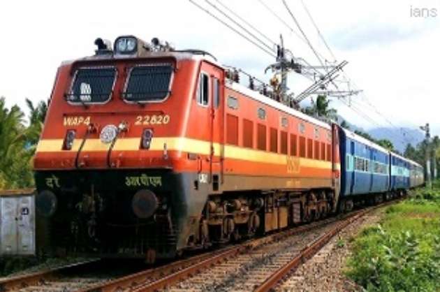
The South Western Railway (SWR) zone conducted an aerial survey of the Castle Rock-Kulem Ghat section using a drone camera in Karnataka's Uttar Kannada district, an official said on Wednesday.
"The drone mapping of vulnerable locations in Castle Rock-Kulem Ghat section helps in taking preventive steps against landslides and water logging on the tracks," an SWR spokesman said in a statement.
The 27 km Ghat section on the Karnataka-Goa border is part of the rich bio-diverse Western Ghats, which receives heavy rainfall during the southwest monsoon from June-September every year.
Castle Rock in the state's northwest region is located in a heavily forested area, where vegetation is most tropical deciduous.
The Ghat section has only a single railway line with no road connectivity.
"Steps have been taken to safeguard the tracks in the Ghat section, which is prone to land slips and water-logging. Embankment walls, sandbags and shoring up of side walls with sleepers have been put in place," said the official.
As an additional safety measure, a drone camera was used to record video of spots of water logging on hill-top, weak spots and loose boulders.
"If any weak spot is noticed, a team of engineers, technicians and trackmen takes remedial action to prevent damage or blocking of the railway track," added the statement.
Sandbags, ballast, boulders, tools and equipment in monsoon wagons are kept ready at Castle Rock, Kulem and Tinaighat to attend to emergencies in the Ghat section.
ians